Protected areas of Anguilla
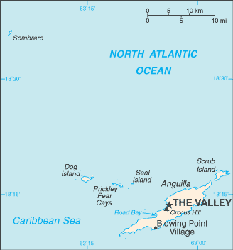
Protected areas of Anguilla
Protected area highlights for Anguilla (January 31, 2008):
|
Area |
| |
|
Total Area of nationally recognized protected areas (% of Anguilla's Territorial Area) |
6 |
20 |
2.1% |
|
Terrestrial (% of Anguilla's Terrestrial Territorial Area) |
6 |
10 |
11.0% |
|
Marine and Littoral Protected Area |
5 |
10 |
|
|
Note that some protected areas include both terrestrial area and marine area |
The latest World Database on Protected Areas, reports ten areas in Anguilla as nationally recognized protected areas (4 more than in the summary above):
| Marine or Terrestrial |
Size (Hectares) | |
| Blowing Point Fish Nursery Reserve | Marine | |
| Crocus Bay Marine Park | Marine | |
| Dog Island Marine Park | Both | 1,000 |
| El Buen Consejo Spanish Galleon Ship Wreck Site | Terrestrial | |
| Little Bay Marine Park | Both | 100 |
| Prickly Pear & Sea Island Marine Park | Both | 3,300 |
| Sandy Island Marine Park | Both | 500 |
| Scrub Island | Both | |
| Shoal Bay & Island Harbour Marine Park | Both | 1,900 |
| Sombrero Island Marine Park | Marine |
|
Return to a list of countries in the Caribbean
Return to Protected Areas of Latin America and the Caribbean
Return to the Latin America and the Caribbean Collection
Further Reading:
- World Database on Protected Areas (accessed May 26, 2009)
Citation
(2009). Protected areas of Anguilla. Retrieved from http://editors.eol.org/eoearth/wiki/Protected_areas_of_AnguillaUnless otherwise noted, all text is available under the terms of the Creative Commons Attribution-Share Alike license.
Privacy Policy | Neutrality Policy
Supported by the Environmental Information Coalition and the National Council for Science and the Environment.
0 Comments