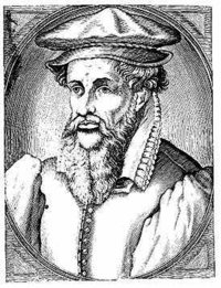
Mercator's
Mercator, Gerardus
Gerardus Mercator (1512–1594), a Flemish geographer, mathematician, and cartographer whose most important innovation was a map, using what was later known as the Mercator projection, on which parallels and meridians are rendered as straight lines spaced so as to produce at any point an accurate ratio of latitude to longitude. The first map using this projection that bears his name appeared in 1569. In 1585, Mercator began a work, in which he introduced the word 'atlas', that included many of his earlier maps; the atlas was completed by his son and published in 1594. Mercator also produced the first globe to have rhumb lines (1541), based on his observation that a ship sailing towards the same point of the compass would follow a curve called a loxodrome (also called a rhumb line or spherical helix). Earlier globes had been constructed based on incorrect data from sailors who assumed that following a particular compass course would have them travel in a straight line.
