Baffin Bay
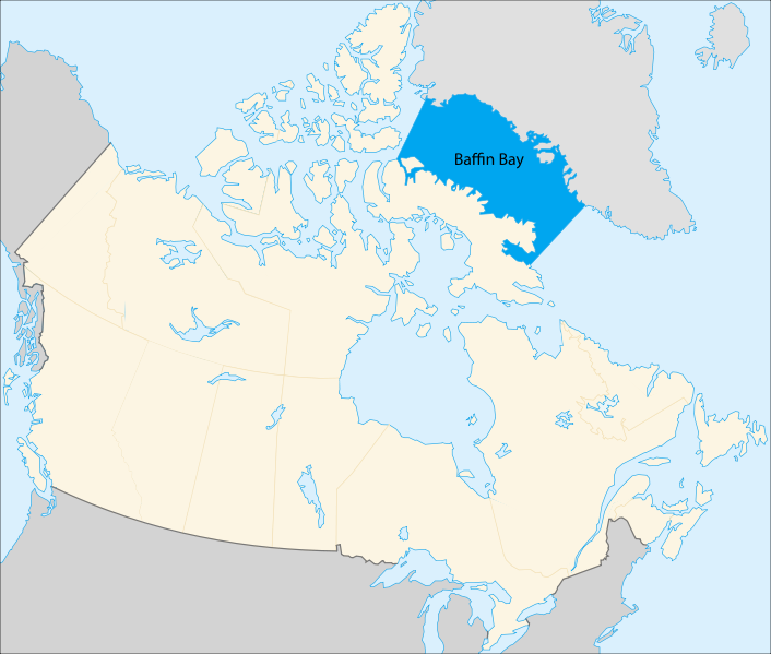
Seas of the World  Baffin Bay is a marginal sea of the North Atlantic Ocean located between the Canada's Baffin, Devon and Ellesmere islands and Greenland.
To the south the Davis Strait connects to the Labrador Sea. To the north, the Nares Strait connects to the Lincoln Sea of the Arctic Ocean.
Baffin Bay is about 1000 kilometers (km) by 400 km.
Most of Baffin Bay is deeper than 1500 meters (m), but deep water exchange with the Labrador Sea is restricted by a sill in Davis Strait with a depth of 670 m.
 Baffin Bay. Source: Connormah/Wikipedia
History
The region around Baffin Bay was first inhabited by the paleo-eskimo people of the Dorest culture which gave way to the Thule people, ancestors to the modern Inuit peoples of the Arctic region. Two ships from a British expedition led by John Davis sailed into the bay in 1585. Between 1612 and 1616, William Baffin participated in several expeditions to the Arctic (Arctic Ocean), including one in 1616 which explored farther north (reaching about about lat. 77° 45') into the bay which now berars his name. These explorations were, in part, motivated by the quest for a "Northwest Passage" to the Pacific Ocean and India.
Ice
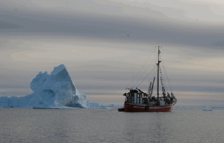
Baffin Bay is difficult to navigate for most of the year because of ice cover, floating ice and icebergs. A mobile ice cover forms during winter and moves southward under the prevailing winds. Icebergs calved from glaciers in southern and western Greenland drift across the bay and southward in the Baffin Current to southern latitudes.

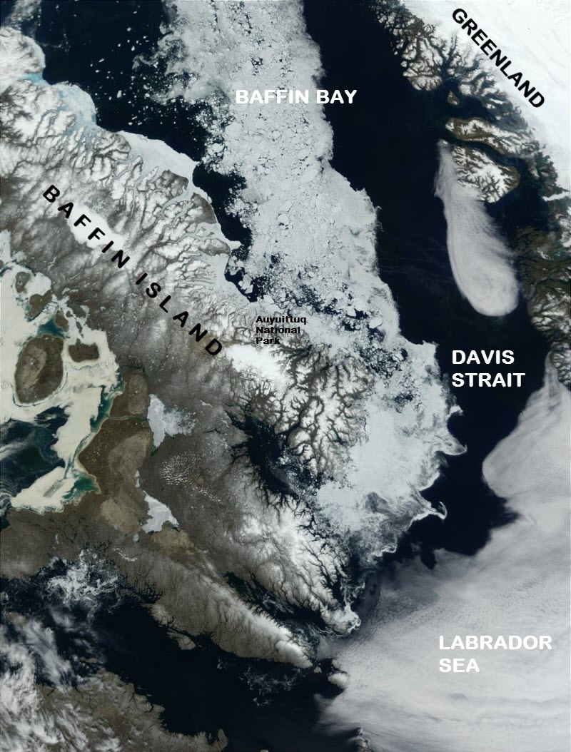
July 6, 2001. Summer is finally beginning to thaw Canada's Baffin Island (center) and the Labrador Sea (lower right). This MODIS image shows that a river of ice still remains in the Davis Strait, which connects the Labrador Sea and Baffin Bay to the north. Source: NASA Visible Earth/Jacques Descloitres, MODIS Land Rapid Response Team
Currents
A significant oceanographic feature of Baffin Bay is the North Water, a partially open water area in the northern part where complete ice cover would be expected under prevailing climatological conditions.
The principal currents are a relatively warm northwards flowing current along the Greenland coast, and the cold southwards flowing Baffin Current. This cyclonic circulation is driven by surface inflows of low salinity Arctic water through the Canadian Archipelago in the north and by means of the West Greenland Current in the south. Current meter data from northern Baffin Bay show strong surface Arctic outflows to a depth of about 500 m, directed to the south and generally following the bathymetry. There is a strong annual cycle in the mean currents, with the currents stronger in summer and weaker in winter. This variability is probably driven by seasonal changes in buoyancy forcing, which enhances the coastal currents on the wide shelves. Tidal currents up to 0.4 m/s have been observed on the shelves and along the shelf slopes, and consist mainly of semidiurnal components, with a considerable diurnal component in some areas.
The surface layer, defined as the layer extending to the maximum depth influenced by wind stress, is a few tens of meters thick. The surface layer water has a density of 1026 kg/m3 or less, with the deeper water weighing in at 1027 kg/m3. Their salinities are 32.5 and 34.0, respectively. In the eastern part of the bay there is a layer between about 200 and 800 m characterized by relatively warm and saline water. This is considered the result of inflow of Atlantic water through the Davis Strait. Substantial tidal currents have been measured in the eastern part of the bay, e.g. up to about 20 centimeters per second at locations where the water depth is 500 m.
Further Reading:
- Physical Oceanography Index
- R. G. Ingram and S. J. Prinsenberg. Coastal oceanography of Hudson Bay and surrounding Eastern Canadian Arctic waters. In A. R. Robinson and K. H. Brink, editors, The Sea, Vol. 11 - The Global Coastal Ocean, Regional Studies and Syntheses, pages 835–861. Wiley, 1998.
- hydrocarbon licensing in Baffin bay by Greenland
