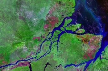
Remote Sensing
Remote sensing involves the collection of data about an object from a distance. Humans and many other types of animals accomplish this task with aid of eyes or by the sense of smell or hearing.
Earth scientists use the technique of remote sensing to monitor or measure phenomena or processes found in the Earth's lithosphere, biosphere, hydrosphere, and atmosphere.
Mechanical remote sensing devices have greatly improved the ability to receive and record information about an object without any physical contact. Often, these sensors are positioned away from the object of interest by using helicopters, planes, and satellites. These sensors may be either passive or active. Passive sensors detect energy when the naturally occurring energy is available such as sun energy. Active sensors provide their own energy source as radar waves and record its reflection on the target.
-
 Featured News Article
  Global picture of greenhouse gasesA three-year series of research flights from the Arctic to the Antarctic has successfully produced an unprecedented portrait of greenhouse gases and particles in the... More »
-
 Featured News Article
 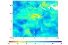 Satellite Tracks Severity of African DroughtAQUA Satellite Tracks Severity of African Drought Northeast Africa continues to reel from the effects of the worst drought to strike the region in decades. The arid... More »
-
 Featured News Article
 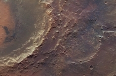 Martian lake deltaThe European Space Agency's (ESA) Mars Express has spotted a rare case of a crater once filled by a lake, revealed by the presence of a delta. The delta is an ancient ... More »
-
 Featured News Article
  Arctic sea ice: lowest extent for 2011As the sun sets over the Arctic Ocean and the air and water cool, sea ice begins its annual freeze-up. Arctic sea ice appears to have reached its minimum extent for the... More »
-
 Featured News Article
  Deepwater Horizon effects on fishGulf of Mexico Deepwater Horizon Spill Effects on Fish Revealed Oil spill resulted in dramatic effects on fish species in Louisiana marshes Despite low concentrations of oil... More »
-
 Featured News Article
  Human-caused climate change a factor in...Human-caused climate change a major factor in more frequent Mediterranean droughts Winter precipitation trends in the Mediterranean region for the period 1902 - 2010. High... More »
-
 Featured Article
 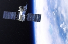 Earth-Observing Satellite Mission GloryNASA’s Glory Mission Will Study Key Pieces of the Climate Puzzle Earth’s climate continues to change at a rapid pace. In January 2011, NASA announced that... More »
-
 Featured News Article
 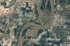 Current U.S. Flood InformationWhen flooding happens, USGS field crews are among the first to respond. During and after storms and floods, USGS field crews measure the streamflow and height of rivers... More »
-
 Featured News Article
  Wild Birds and Bird InfluenzaResearch Suggests Wild Birds May Play a Role in the Spread of Bird Flu Wild migratory birds may indeed play a role in the spread of bird flu [influenza], also known as highly... More »
 State of the Climate in 2011 Last Updated on 2015-05-09 14:34:12 Worldwide, 2011 was the coolest year on record since 2008, yet temperatures remained above the 30 year average, according to the 2011 State of the Climate report released online by the National Oceanic and Atmospheric Administration (NOAA). Back-to-back La Niñas cooled globe and influenced extreme weather in 2011 The lead character of the 2011 climate story was a double dip La Niña, which chilled the Pacific at the start and end of the year. Many of the 2011 seasonal climate patterns around the world were consistent with common side effects of La Niña. More information. Worldwide, 2011 was the coolest year on record since 2008, yet temperatures remained above the 30 year average, according to the 2011 State of the Climate report released online today by NOAA. The peer-reviewed report, issued in coordination with the American Meteorological Society (AMS), was... More »
  National Oceanic and Atmospheric Administration (NOAA), United States Last Updated on 2014-06-30 19:00:15 The National Oceanic andAtmospheric Administration (NOAA) is a federal agencywithin the United States Department of Commerce. As a science-based operational agency tasked with monitoring climate and changes in the environment, NOAA is responsible for the study of the atmosphere and the oceans. The agency issues daily weather forecasts and storm warnings, restores coastline,aidsthe flow ofmarine commerce, and manages fisheries. NOAA's activities facilitate weather- and climate-sensitive economic activity that account for roughly one-third of the country's gross domestic product (GDP)[1]. The agency also responds to natural and man-made maritime disasters, operates a complex network of oceanographic, meteorologicalandatmospheric data-collecting products and services, and manages marine mammals, marine endangered... More »
  The North American Mosaic Last Updated on 2013-10-24 15:12:08 An Overview of Key Environmental Issues The North American Agreement on Environmental Cooperation obliges the Secretariat of the Commission for Environmental Cooperation to “periodically address the state of the environment in the territories of the Parties.” To meet this obligation, the Secretariat has developed this report—The North American Mosaic: An Overview of Key Environmental Issues—with the support of environmental reporting experts from the governments of Canada, Mexico and the United States. This report describes a wide variety of environmental trends and conditions across North America. The breadth and diversity of the subject are astounding: from tiny invasive zebra mussels to global greenhouse gases measured by the teragram; from the last remaining vaquita porpoises to vast expanses of boreal forests and marine ecosystems; from invisible... More »
  Improving access to and use of earth science data Last Updated on 2013-10-22 23:34:26 USGS Helps Debut New Technology to Improve Access and Use of Earth Science Data Researchers investigating global issues now have an easy method for finding and using earth science data through a new technology developed by the Data Observation Network for Earth, or DataONE. Understanding broad and complex environmental issues, for example climate change, increasingly relies on the discovery and analysis of massive datasets. But the amount of collected data—from historical field notes to real-time satellite data—means that researchers are now faced with an onslaught of options to locate and integrate information relevant to the issue at hand. DataONE, a ten-institution team with several hundred Investigators, including researchers from the United States Geological Survey (USGS), is addressing this data dilemma with a number of cyberinfrastructure and... More »
  Africover Initiative (Remote Sensing) Last Updated on 2013-10-08 23:04:33 The Africover Project is designed to provide a digital, georeferenced database on land cover—and a geographic information reference point for the whole of Africa. The purpose of the Africover Project is to establish a digital georeferenced database on land cover and a geographic referential for the whole of Africa including: geodetical homogeneous referential toponomy roads hydrography The Multipurpose Africover Database for the Environmental Resources (MADE) is produced at a 1:200,000 scale (1:100,000 for small countries and specific areas). Reinforcing national and sub-regional capacities for the establishment, update and use of the geographic referential and land cover maps and spatial data bases is the core strategy of Africover: this has been the methodology adopted to ensure an operational approach and the sustainability of the initiative. The renewable... More »